An interesting article from ABC News:
Is social media masking bushwalking dangers and leading to poor hiking decisions?

Hiking, camping, and getting outdoors in Australia
An interesting article from ABC News:
Is social media masking bushwalking dangers and leading to poor hiking decisions?
Bushwalker found dead near Tasmania’s treacherous Federation Peak (pulsetasmania.com.au)
https://pulsetasmania.com.au/news/bushwalker-found-dead-near-tasmanias-treacherous-federation-peak
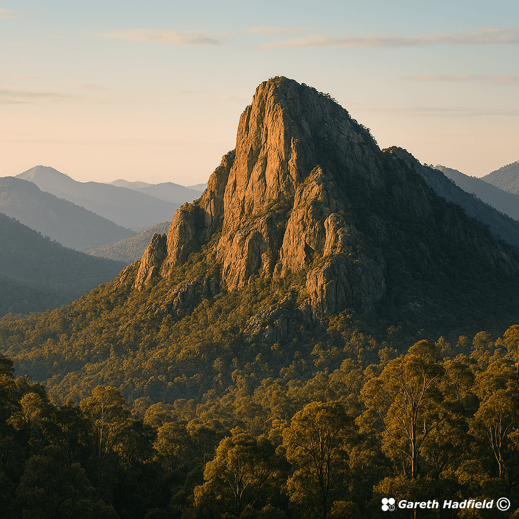
I did an experiment with AI. First, I created an image based on my text-only description of one of my favourite places on the Great North Walk (I used Microsoft Copilot). Let me know in the comments your guess where this is supposed to be:
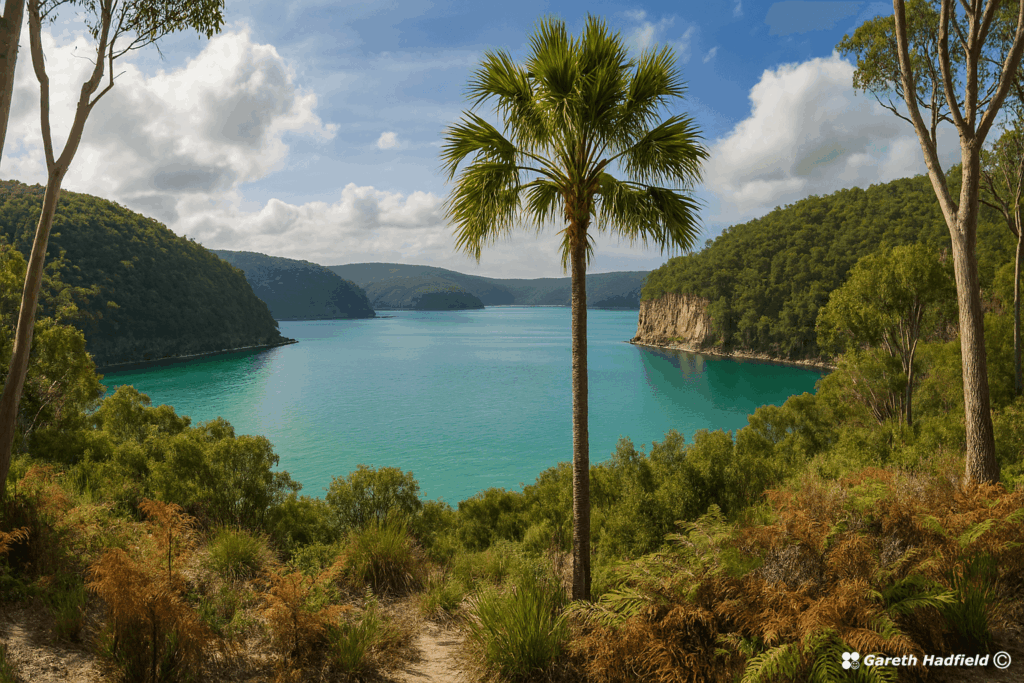
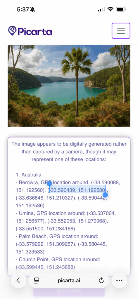
Then, when I was satisfied with the image, I uploaded it to picarta.ai which is a location finding tool that takes an image and gives some guesses as to where the image is.
Fascinatingly, Picarta’s first guess was exactly where my AI image was supposed to represent. Not only that, Picarta also detected that the image was digitally generated.
Spoilers! Here is what Picarta said:
I’m pretty impressed with Picarta, and Microsoft Copilot!
More spoilers: Here is the Google Maps link to the location: https://maps.app.goo.gl/WVwkLaqQk2kHrsze6
To the family and friends, I am very sorry for your loss (link).
This type of tragedy seems to be happening a lot lately. Two women were also found not long ago.
Both cold and hot weather can quickly turn to tragedy. One way to improve your safety is to take a personal locator beacon. Take water, plb, and tell someone exactly where you are going and when you expect to return.
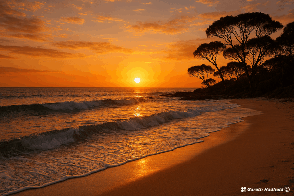
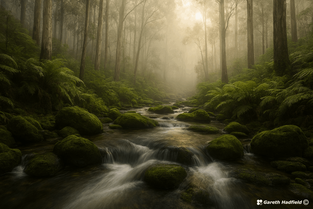
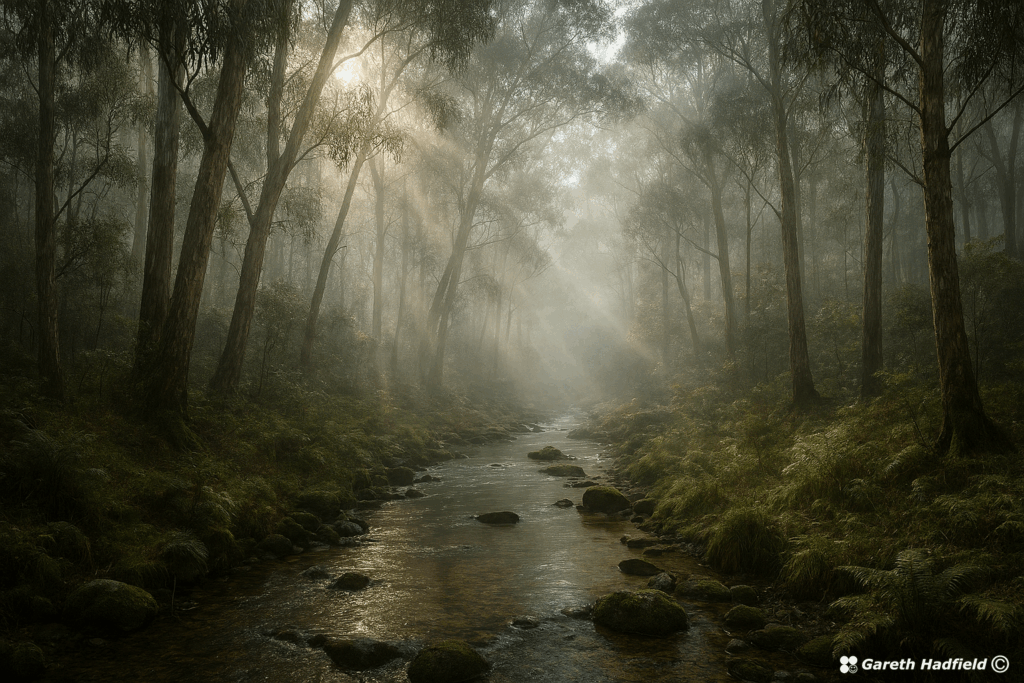
Thought I would share some of the pictures I have created using AI. I have been using Microsoft Copilot which is the best tool I have found so far. It’s amazing what you can create with AI now!
Hail Storm in Rooty Hill, NSW, Australia on 14th October 2021. I took shelter under the rail bridge, but the hail basically came in sideways. A little bit of damage to the garden.
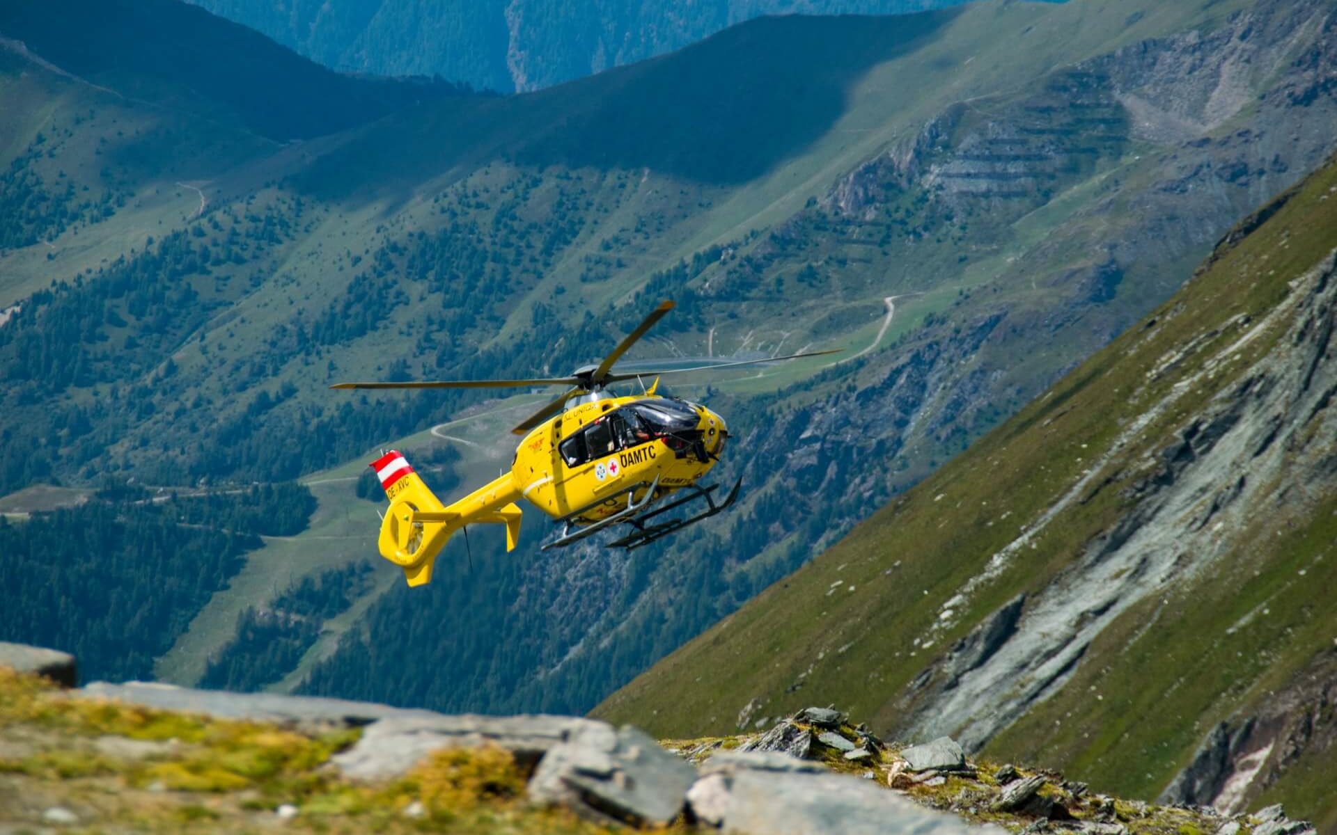
Today I was saddened to hear about the tragic death of a woman from Cairns who fell from Windin Falls in northern Queensland. Our hearts and condolences go out to the family and friends who have lost a loved one.
Continue reading “The Tragedy We Can Prevent”I found this video fascinating:
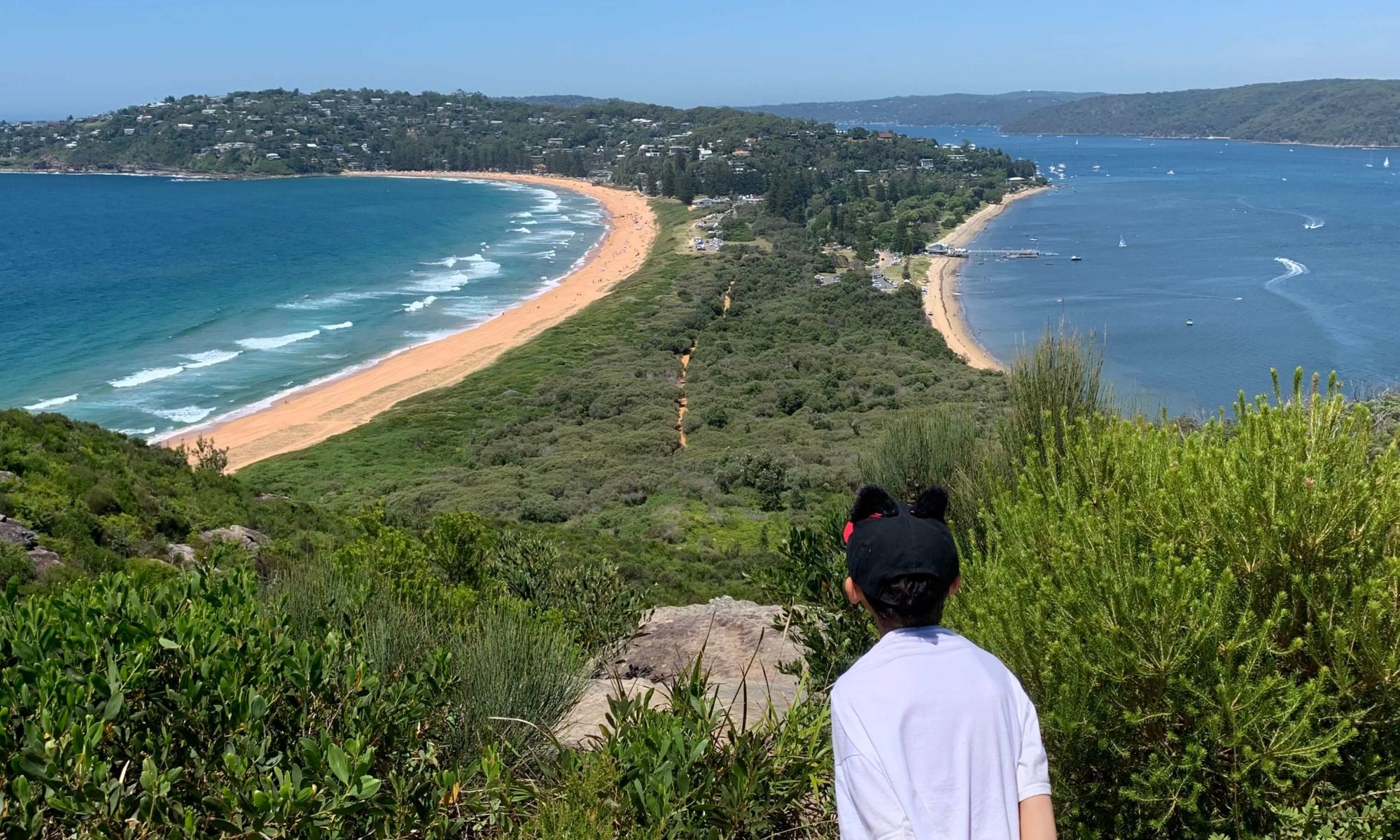
This beautiful short walk takes you along the bayside beach from the carpark then up steep stairs to the lighthouse. The walk provides views north over Broken Bay towards Lion Island and Box Head, and south across Palm Beach and Pittwater.
Continue reading “Barrenjoey Lighthouse & Arctic Hat Review”